Projects
maNOWj GeoIntel
A free map-based web app that answers questions about any place, with the source and date shown next to every answer.
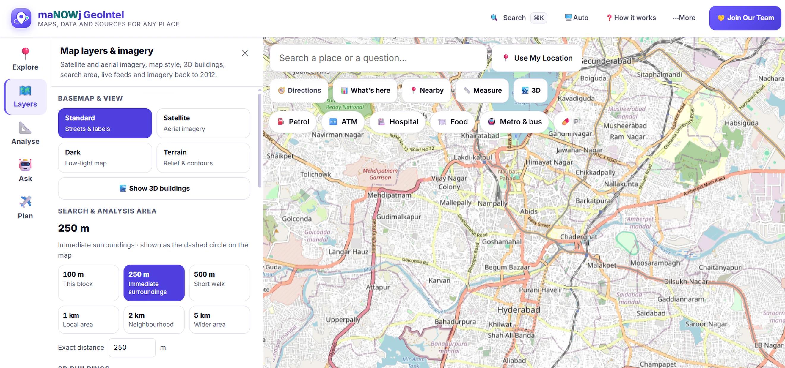
Overview
maNOWj GeoIntel is an independent product I design and build. You pick a place on the map and ask about it: what's nearby, how to get there, what the weather and air are like, how many people live there. Every answer shows where it came from and how recent it is. If a source has no figure, the app says so instead of guessing.
Why it exists
Information about places is spread across many open data sources and is often shown without context. GeoIntel brings those sources together in one place and shows where each answer comes from, so people can trust what they see and decide for themselves.
Key features
- Counts of hospitals, schools, shops, ATMs and other places within a chosen radius
- Directions with live turn-by-turn navigation
- Weather, air quality and rain radar
- Population, area and density, with the census year shown
- Satellite view or 3D buildings, with the imagery date shown
- Distance and area measurement
- maNOWj Daily, a daily game of guessing locations from satellite views